Impact of Cold Front on Tropical Weather Systems: A Report by Bryan Norcross
A significant fall cold front is expected to deter tropical systems from approaching the U.S. for the immediate future. A Tropical Disturbance near Africa may develop into a depression but poses no current threat. Cool, dry air is arriving, benefiting Florida residents without power.
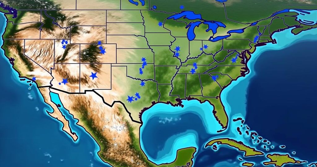
Meteorologist Bryan Norcross reports that a robust fall cold front is expected to inhibit any tropical systems from approaching the United States in the immediate future. Currently, a Tropical Disturbance is moving westward near Africa, with the National Hurricane Center estimating a moderate probability that it may develop into a tropical depression within the forthcoming days. An upper-level disturbance over Alaska is predicted to enhance a dip in the jet stream across the eastern United States, effectively driving a cold front through Florida next week. This meteorological phenomenon, both at the surface level and aloft in the jet stream, is anticipated to impede the movement of tropical systems into the northern Gulf of Mexico or the Atlantic Ocean for at least the upcoming week. In the Atlantic region, the aforementioned Tropical Disturbance is making its way westward, with potential implications for the Caribbean islands by the end of next week. Concurrently, Tropical Storm Leslie is diminishing and poses no threat to land areas. Furthermore, while the American GFS computer forecast model suggests the possibility of a significant storm forming in the southwestern Caribbean Sea later this week, other forecasting models predict a lesser disturbance or no notable development at all. In the event that such a system arises, it could potentially impact Central America, as disturbances often generate in the southern Caribbean during this time of year. The prevailing strong east-to-west winds associated with the cold front may catalyze the development of a tropical system, making it an area of interest as hurricane season approaches its conclusion. Fortunately, the arrival of fall weather and an influx of cool, dry air is a relief for the millions of residents in Central and Western Florida who are still without power due to recent events.
The article discusses the current meteorological conditions affecting tropical weather systems in relation to a cold front moving across the eastern United States. The presence of a Tropical Disturbance near Africa is highlighted, as well as its potential for development into a tropical depression. Additionally, the interaction between varying atmospheric conditions, including upper-level disturbances and surface fronts, plays a critical role in determining the trajectory of these tropical systems. The implications for Central and Western Florida residents, particularly regarding power restoration, are also noted.
In conclusion, the strong fall cold front is projected to effectively prevent tropical systems from impacting the U.S. for the next week. The situation remains dynamic, with the potential for disturbances to develop in the Caribbean, but current forecasts suggest little immediate threat to land. The anticipated arrival of cooler and drier air is a positive development for Florida residents still recovering from power outages.
Original Source: www.foxweather.com


Post Comment