Hurricane Oscar: A Case Study in Unexpected Storm Intensification
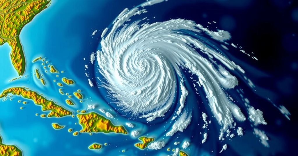
Hurricane Oscar unexpectedly strengthened from a tropical wave off Puerto Rico to a Category 1 hurricane within hours, catching storm models off guard. Forecasters utilized satellite imagery and reconnaissance data to issue timely warnings, illustrating the challenges posed by small, rapidly intensifying storms.
On Friday evening, a disorganized tropical wave positioned east of Puerto Rico was assessed to have only a 10% likelihood of intensifying over the weekend. However, by midday Saturday, it had transformed into Hurricane Oscar, a Category 1 storm advancing towards the Bahamas. Meteorological professionals noted that this small storm eluded the detection of most significant storm forecasting models. However, through diligent observation of incoming data by human analysts and field reconnaissance flights, timely alerts were issued prior to Oscar’s landfall. Philippe Papin, the forecaster for the National Hurricane Center on Saturday, identified a critical development by analyzing microwave satellite imagery. He noticed the formation of a low-level circulation, which serves as an indicator of tropical storm development. Papin stated, “It became pretty clear that a small circulation was developing. We had to shift gear in a short period of time.” By 11 a.m., the hurricane center had issued its initial forecast for Tropical Storm Oscar, which was directed towards the Bahamas and Cuba, prompting the Bahamian authorities to initiate a tropical storm warning. Concurrently, a hastily assembled group of Hurricane Hunters departed from St. Croix to gather further data. Upon their arrival, the reconnaissance team discovered a significantly different system from what had been previously anticipated. They did not detect tropical-storm-force winds until they were a mere 10 nautical miles from the storm’s center. By 2 p.m., Tropical Storm Oscar was officially designated as Hurricane Oscar, making it one of the smallest hurricanes recorded in the Caribbean and leaving the islands with less than 24 hours to prepare for this unexpected event. Papin remarked, “The typical time for issuing a watch is 48 hours of lead time. This was more like 12 to 24 hours. Obviously that is suboptimal.” Hurricane Oscar ultimately made landfall in the Bahamas on Great Inagua Island on Sunday morning and later affected the eastern coast of Cuba that evening.
The phenomenon of rapidly intensifying tropical systems poses significant challenges for meteorologists, particularly when storm models fail to predict their development accurately. In this instance, the storm that became Hurricane Oscar initially appeared as a low-risk tropical wave, with no major models foreseeing its potential to evolve into a hurricane. Factors such as the small size of the storm and environmental conditions often create difficulties in prediction.
In conclusion, the rapid intensification of Hurricane Oscar from a tropical wave to a hurricane within a short span highlights the complexities involved in storm forecasting. The failure of standard storm models to detect its development underscores the importance of real-time data analysis and reconnaissance missions, which can significantly improve warning times and public safety. As evidenced by the experience of forecasters and scientists, understanding the unique characteristics of smaller storms remains crucial in advancing hurricane forecasting techniques.
Original Source: www.tampabay.com


Post Comment