Understanding Bomb Cyclones: Impending Impact on Washington State Residents
A bomb cyclone, a storm system that rapidly loses atmospheric pressure, is set to impact Washington State with strong winds beginning Tuesday evening. Forecasts predict sustained winds on land of 25 to 40 mph with gusts reaching 65 mph, representing a significant weather event for the area as the storm approaches from the Pacific Ocean.
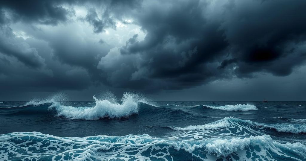
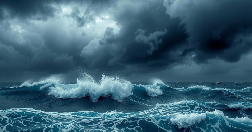
In the context of an impending powerful storm system expected to develop in the Pacific Ocean, a phenomenon known as a “bomb cyclone” has garnered attention among Washington State residents. As defined by FOX 13 Seattle Meteorologist Abby Acone, this term is derived from “bombogenesis,” which indicates a rapid decline in atmospheric pressure—specifically a drop of at least 24 millibars within a 24-hour period. Current forecasts suggest that the impending storm may plunge even more profoundly, by as much as 50 millibars between Monday evening and Tuesday. Understanding the dynamics underpinning the strength of weather systems is essential; as Acone elaborates, a significant difference in pressure creates powerful winds akin to a vacuum drawing air towards it. For Washington residents, the approach of this bomb cyclone is forecasted to bring impactful easterly and southeasterly winds starting on Tuesday evening. These winds are anticipated to rush through the Cascade Mountains and off the coast due to the intense low-pressure system developing offshore. It is crucial to monitor not only the pressure of the storm but also its trajectory and timing, as these factors will inform the potential severity of impacts across the region. While the storm’s center is expected to remain slightly offshore, its proximity will lead to high winds Tuesday night, particularly affecting western Washington. In the Pacific Ocean, winds may reach levels characteristic of hurricane intensity, with sustained winds reaching 74 mph in some areas, identifying it as a Category 1 hurricane at sea. However, on land, gusts are likely to peak around 65 mph, with sustained winds ranging from 25 to 40 mph across various communities. Given that conditions are rapidly changing, forecasts may vary, underscoring the need for vigilant monitoring as the storm evolves.
The term “bomb cyclone” has become increasingly significant in meteorological discussions, especially in the wake of notable storms impacting weather patterns. This phenomenon involves a rapid decrease in atmospheric pressure, which leads to enhanced wind speeds and extreme weather conditions. Understanding the mechanics of bomb cyclones, particularly their formation and potential impacts, is essential for residents living in areas that might experience such powerful storms. In the case of Washington State, the impending storm is a subject of close observation given its intensifying nature and the potential hazards it poses.
In summary, Washington residents should prepare for the impact of a bomb cyclone as a potent storm system approaches the Pacific coast. With significant wind gusts anticipated and changes in forecast likely, it is advisable to stay informed through official weather channels. While the storm’s center is expected to remain offshore, the consequences of this powerful system could lead to damaging winds across several counties in Washington, particularly in the western region.
Original Source: www.fox13seattle.com


Post Comment