Tropical Depression Romina Triggers Signal No. 1 in Kalayaan Islands
On December 22, PAGASA raised Signal No. 1 in the Kalayaan Islands due to Tropical Depression Romina entering PAR. Wind speeds are 55 kph with possible gusts up to 70 kph. Hazards at sea include waves reaching 4.5 meters. Mariners should seek shelter. Romina may briefly strengthen before weakening again.
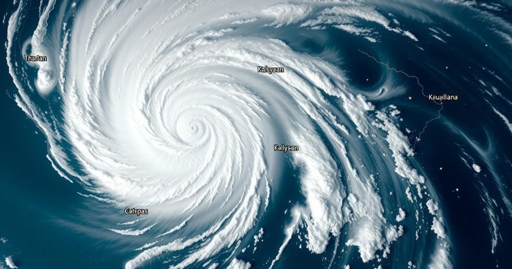
On December 22, the Philippine Atmospheric, Geophysical and Astronomical Services Administration (PAGASA) elevated Tropical Cyclone Wind Signal No. 1 in the Kalayaan Islands as Tropical Depression Romina entered the Philippine Area of Responsibility (PAR). At 11 a.m., Romina was located approximately 365 kilometers south of Pag-asa Island, Palawan, proceeding in a north-northeast direction at a speed of 30 kilometers per hour. The depression exhibits maximum sustained winds of 55 kilometers per hour and gusts reaching 70 kilometers per hour.
The issuance of Signal No. 1 suggests that there may be minimal to minor impacts from the strong winds, particularly in areas that are coastal and exposed to prevailing wind directions. Winds are forecasted to be slightly more forceful in these regions compared to sheltered locales. Should Romina’s intensity escalate, Signal No. 2 may be the highest wind signal issued.
PAGASA has warned of hazardous conditions at sea, with wave heights potentially reaching 4.5 meters in the waters surrounding Batanes, Babuyan Islands, Ilocos Norte, and Kalayaan Islands. Mariners are advised to remain in port or, if at sea, to seek shelter immediately until conditions improve. Other areas forecasted to experience rough seas include regions with wave heights of 4.0 meters in parts of northern and eastern Polillo Islands and other nearby seaboards, and those with heights of 3.5 meters across the northern seaboards of various provinces.
As Tropical Depression Romina continues to move out of the area, it is projected to turn north-northwest later in the day and further west-northwest in the subsequent days, passing near the Kalayaan Islands within 24 hours. Although there is a possibility that it may briefly strengthen into a tropical storm within the next 12 hours, forecasts predict it will subsequently weaken back into a tropical depression for the remainder of its duration.
Tropical cyclones are a significant concern in the Philippines, particularly during the rainy season. The rise of wind signals issued by PAGASA serves as an informative guide regarding the potential impacts of approaching weather disturbances. Signal No. 1 indicates the onset of stronger winds, which may affect marine activities and local communities, essential for preparation in coastal regions to mitigate risks associated with adverse weather conditions. Furthermore, the monitoring of wave heights plays a crucial role in ensuring maritime safety.
In summary, Tropical Depression Romina has prompted the issuance of Tropical Cyclone Wind Signal No. 1 in the Kalayaan Islands, indicating potential impacts from strong winds. Mariners are advised to remain cautious and seek shelter due to hazardous sea conditions. While Romina may experience fluctuations in intensity, safety precautions and vigilance remain critical as it passes through the region.
Original Source: www.philstar.com


Post Comment