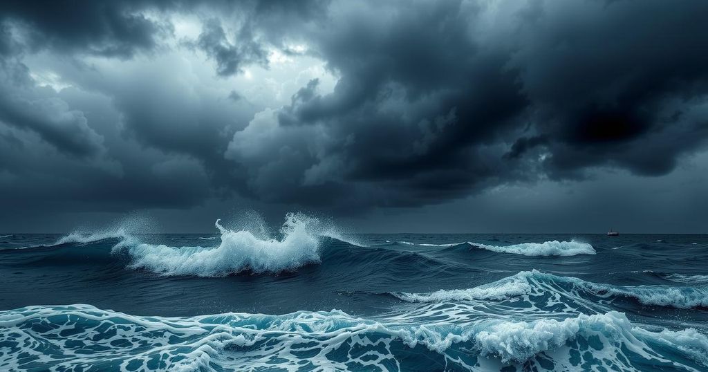
Tropical Cyclone Activity Report: Developments in the Pacific Ocean
The Pacific Disaster Center reported on tropical cyclone activity on January 30, 2025, stating that Tropical Cyclone 11S and 12S (Elvis) are currently active in the South Indian Ocean. Both systems are facing challenges due to environmental factors that may hinder their development. Additionally, two areas of disturbed weather, Invest 96P and Invest 99S, are under observation, with low potential for significant development within 24 hours.
On January 30, 2025, the Pacific Disaster Center released its Tropical Cyclone Activity Report, addressing current cyclonic activity in the Pacific Ocean and adjacent seas. Presently, Tropical Cyclone 11S is located about 590 nautical miles south-southwest of Diego Garcia, and Tropical Cyclone 12S (Elvis) is approximately 619 nautical miles east-northeast of Port Louis, Mauritius.
No active tropical cyclones have been reported in the Northeast and Central Pacific Oceans, as the respective hurricane seasons have concluded. The routine activity report for both regions will recommence on May 15, 2025, in the Northeast Pacific and June 1, 2025, in the Central Pacific. Special Tropical Weather Outlooks may be issued during the off-season based on conditions.
In the South Indian Ocean, Tropical Cyclone 11S is currently exhibiting sustained winds of 35 knots with gusts reaching 45 knots. It is facing significant challenges, including persistent easterly shear and dry air intrusion, which are hindering its development. Current imagery indicates that convective activity has diminished, leading to an exposed low-level circulation center.
Conversely, Tropical Cyclone 12S (Elvis) features sustained winds of 40 knots with gusts up to 50 knots. This system is exhibiting a resurgence in convective activity due to favorable warm waters and reduced vertical wind shear. Its trajectory indicates a southeastward movement, but it is predicted to begin extratropical transition within 48 hours due to increasing shear.
Two disturbances, Invest 96P and Invest 99S, are also being monitored. Invest 96P, located southeast of Cairns, Australia, is characterized by weak convection and disorganized structure, while Invest 99S, south-southwest of Christmas Island, shows signs of consolidating despite being poorly organized. Both have low potential for significant tropical cyclone development within the next 24 hours.
The Pacific Disaster Center will continue to update on these systems and any developments in tropical cyclone activity as necessary, adapting their reports according to shifting environmental conditions.
The Pacific Disaster Center compiles data on tropical cyclones impacting the Pacific and adjoining regions, particularly focusing on their formation, intensity, and projected paths. This report summarizes their findings for Tropical Cyclone 11S and 12S, as well as additional systems in development. Understanding these patterns is crucial for timely warnings and preparedness efforts in regions at risk from such weather phenomena. Recent reports detail the cessation of routine activity reports for various cyclone regions due to the seasonal nature of these weather systems. Post-season special bulletins will be issued when necessary, monitoring any changes in existing systems or new developments in the tropics. The analysis of current systems, such as their intensity, environmental effects, and potential for development, is essential in providing accurate forecasts and necessary precautions for the regions affected by such weather patterns. The ongoing monitoring efforts by agencies like the National Hurricane Center (NHC) and the Joint Typhoon Warning Center (JTWC) enable a better understanding of severe weather patterns, allowing for improved disaster response and long-term planning in vulnerable locales.
In conclusion, the Tropical Cyclone Activity Report by the Pacific Disaster Center highlights ongoing cyclonic activity, particularly Tropical Cyclones 11S and 12S, while indicating no active systems in the Northeast and Central Pacific Oceans. With the hurricane season concluded in those areas, monitoring will resume in May and June respectively. Additionally, two disturbances, Invest 96P and Invest 99S, are being observed, although their development potentials remain low. Continuous updates from PDC will ensure awareness of significant weather developments in the Pacific.
Original Source: www.pdc.org


Post Comment