Central Coast Weather Report: Daylight Saving Time and Upcoming Storms
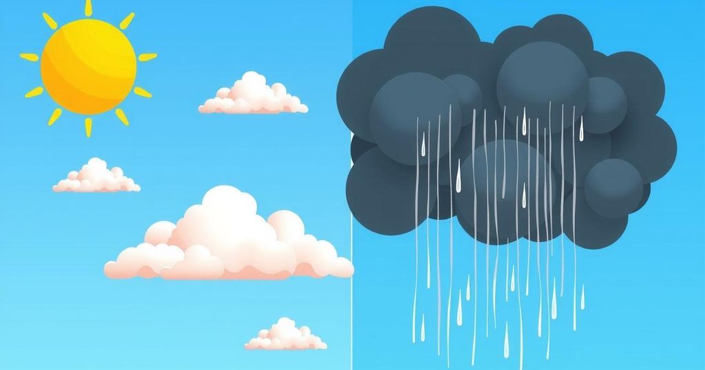
Daylight Saving Time starts this Sunday, prompting a shift in sleep schedule. A varied weather pattern is forecasted, commencing with dry conditions, turning to strong winds and rain mid-week, culminating in a Blood Moon lunar eclipse. Surf conditions are steady with water temperatures at 52 to 53 degrees.
Daylight Saving Time (PDT) will commence this Sunday, requiring clocks to spring forward one hour at 2 a.m. This change will mean shorter mornings and later sunsets for residents. This week, a fluctuating weather pattern is anticipated, beginning with clear and dry conditions over the weekend in California, shifting to wind and rain from Monday through Friday.
As the week progresses, gentle to moderate Santa Lucia winds will develop nightly and shift direction by afternoon, creating cool mornings, temperate afternoons, and periodic coastal low clouds. An upper-level low-pressure system, located offshore, will result in strong southerly winds and light rain starting Monday night, with most precipitation expected in Southern California.
Temperatures during the week will vary, with mornings in the inland valleys between mid-30s to low-40s and daytime highs remaining in the mid-60s until Tuesday. Following this, a more potent storm system is predicted to arrive on Wednesday, bringing strong winds and substantial rainfall, particularly in the coastal mountains, where totals could reach between 1 to 2 inches.
Additionally, a Blood Moon will be visible late Thursday into Friday morning, coinciding with a total lunar eclipse, revealing a striking copper hue. Next weekend will see a return of dry and warmer weather as a high-pressure ridge stabilizes atmospheric conditions, lasting into the week ahead except for a potential rain chance on the following Monday.
The surf is also expected to engage surfers with a 5 to 7-foot swell over the weekend, increasing further early next week. The following waves will remain substantial throughout the week until calming down on Friday. Surface seawater temperatures will remain consistent at 52 to 53 degrees through the following Sunday.
In weather history, notable events include the record snow depth observed in 1956 and severe thunderstorms affecting West Texas in 1990, resulting in injuries. In 2018, San Luis Obispo County registered minimal rainfall following a band of showers.
This week’s weather on the Central Coast will transition from dry conditions over the weekend to a series of storms, leading to potential rainfall and strong winds. Residents can anticipate a Blood Moon event amid the weather changes and should be prepared for varying conditions as we enter Daylight Saving Time. Overall, warmer weather is expected to follow, promising a glimpse of spring after this stormy period.
Original Source: santamariatimes.com


Post Comment