Satellite Analysis of Flood Extents in Botswana as of March 2025
As of March 4, 2025, satellite data indicates that 7 km² of the Gaborone, South East, and Kgatleng Districts are still affected by flooding. Floodwaters have receded by 23 km² since late February 2025. This analysis is preliminary and requires validation through ground feedback to UNOSAT.
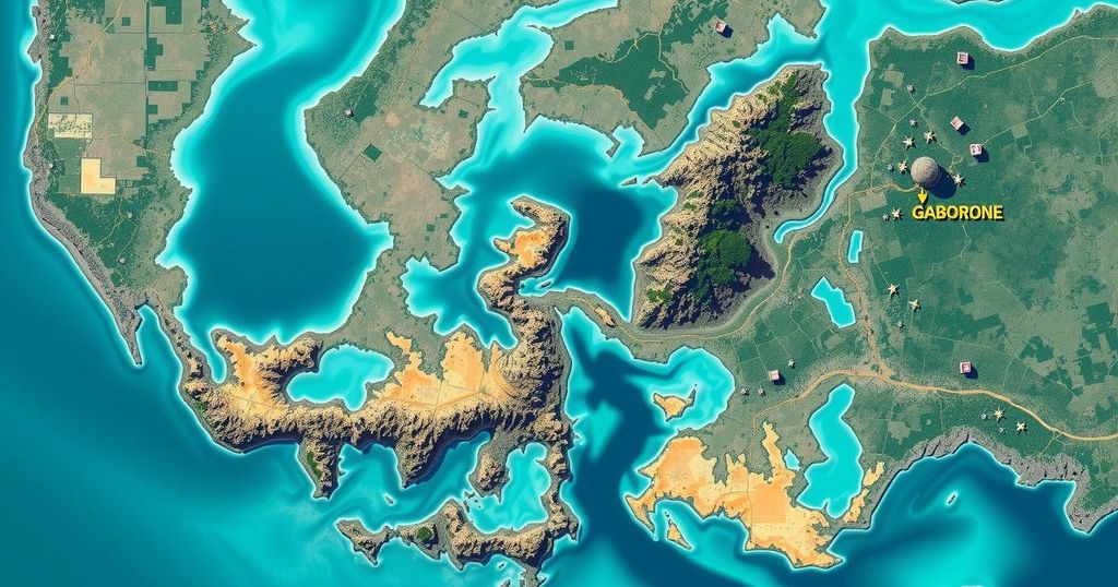
Recent satellite imagery has revealed the extent of flooding in the Gaborone, South East, and Kgatleng Districts of Botswana as of March 4, 2025. Utilizing multisatellite data from sources such as Sentinel-2, PlanetScope, and Kanopus-V, the analysis indicates that approximately 7 km² of the region continues to experience flooding within an examined area of roughly 700 km². Notably, floodwaters have decreased by around 23 km² since the assessments conducted on February 23 and 25, 2025. It is important to note that this report represents preliminary findings and has yet to undergo field validation. Feedback from ground observations can be directed to the United Nations Satellite Centre (UNOSAT).
The satellite imagery provides crucial insights into the flood situation in Botswana’s Gaborone area, showing a significant decrease in flood extents over a span of days. This preliminary analysis highlights the necessity for further field validation to ensure accuracy, urging ground feedback to enhance understanding and response efforts.
Original Source: reliefweb.int


Post Comment