Weather Alert: Heavy Snow and Rain to Impact Central and Southwest Montana
Heavy snow and rain are predicted to affect central and southwest Montana through Wednesday. Winter storm watches are in effect, particularly for mountainous regions. Rain and snow are expected to increase as the week progresses, with temperatures remaining below average before a warming trend arrives by the weekend.
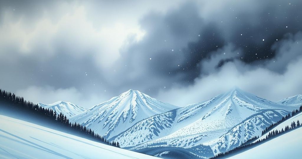
Residents of central and southwest Montana should brace for significant weather changes as heavy snow and rain are forecasted through Wednesday. Following a brief respite this morning, mountain snow is expected to intensify tonight, particularly affecting regions like Butte, Bozeman, and potentially Great Falls.
Winter storm watches are in effect starting tonight and lasting through Wednesday for central and southwest areas, especially along the mountain passes from Kings Hill to Bozeman Pass. The Absaroka Beartooth and Crazy Mountains are anticipated to receive between 8 and 14 inches of snow.
This morning, precipitation will be sporadic, but conditions will improve throughout the day, with rain and snow becoming more pronounced in central and western areas. An upper-level low pressure system is generating moisture that could lead to mixed precipitation in places such as Great Falls and Glacier Park.
By Wednesday morning, the weather will shift to a rain-snow mixture in areas like Billings, extending north towards Miles City. The southern regions of the state are likely to experience the most accumulation, including snow in valleys and lower elevations.
Forecasts predict rainfall totals of up to one-third of an inch in Billings, six-tenths in Miles City, and three-tenths in Great Falls, while higher elevations are projected to receive substantial snow, with lower areas expecting one to two inches.
Today’s temperatures will reach highs of 54 in Miles City, 57 in Billings, 51 in Great Falls, 54 in Missoula, and 48 in Bozeman. The extended forecast indicates below-average temperatures with ongoing chances of rain or mixed precipitation each day. However, a warming trend is anticipated next weekend, bringing temperatures into the 60s.
Residents in Helena and Great Falls should prepare for stormy weather through Thursday, with a warming trend expected by the weekend. Meanwhile, Butte and Bozeman can expect chilly conditions with snow, but temperatures are projected to rise into the 50s and 60s by Sunday.
In summary, Montana’s central and southwest regions are bracing for heavy rain and snow, particularly from tonight through Wednesday. With winter storm watches issued, areas will experience significant snowfall along with mixed precipitation in certain locales. Expect temperatures to remain below average temporarily, though a warming trend is anticipated by the weekend, providing some relief from the inclement weather.
Original Source: www.montanarightnow.com


Post Comment