Heavy Snow Expected This Weekend in Glacier Park
Montana is experiencing warm temperatures today, but heavy snow is forecasted for Glacier National Park this weekend. A trough of low pressure will bring much cooler weather and potentially strong thunderstorms Friday. A winter storm watch is in effect, predicting significant snowfall and rain across the region.
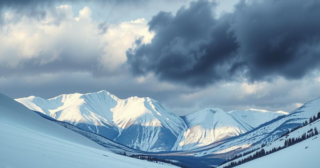
Heavy snow is on the way for Glacier National Park this weekend, just as warmer weather graces much of Montana. Today, temperatures slid into the mid-70s to mid-80s, with only a few thunderstorms popping up in the far northeast near the Canadian and North Dakota borders. The skies remained mostly clear, and winds clocked in at a gentle 5 to 15 mph, with gusts occasionally reaching up to 30 mph in Jordan. All in all, it was a beautiful spring day, aided by a high-pressure system settling over the state.
However, that’s set to change as a moist southwest flow moves in, bringing afternoon thunderstorms to the southwestern regions of Montana starting tomorrow. Weather officials warn that some of these storms could be quite strong. Initial forecasts show that most of the state will experience showers and sporadic thunderstorms by Friday.
Meanwhile, a trough of low pressure forming near Seattle is expected to sweep into Montana by the weekend. As a result, the weather will take a sharp downturn starting Saturday, especially in the western parts of the state. This change in atmospheric conditions means that tourists heading to Glacier National Park should prepare for heavy snowfall.
A winter storm watch is already in place for Saturday afternoon through Sunday morning for the park. Reports indicate that elevations above 6,000 feet could see up to a foot of snow. Logan Pass could receive up to four inches of snow at lower elevations around 4,000 feet. In conjunction with the snowfall, heavy rains are predicted for northwest Montana, with certain areas like Flathead and Lincoln Counties possibly receiving between two to four inches of rain.
As for tonight, expect lows to hover in the upper 40s to 50s, and tomorrow’s highs will swing back up into the mid-80s to even mid-90s degrees. By Sunday, however, temperatures will drop dramatically, with highs only reaching into the 50s and 60s, signifying a notable shift in weather for the region.
In summary, the weather in Montana is shifting notably as we approach the weekend, with warm temperatures giving way to a winter storm watch for Glacier National Park. Tourists should take caution as heavy snow and rain are anticipated in the coming days, drastically altering the mild conditions experienced just prior.
Original Source: www.montanarightnow.com


Post Comment