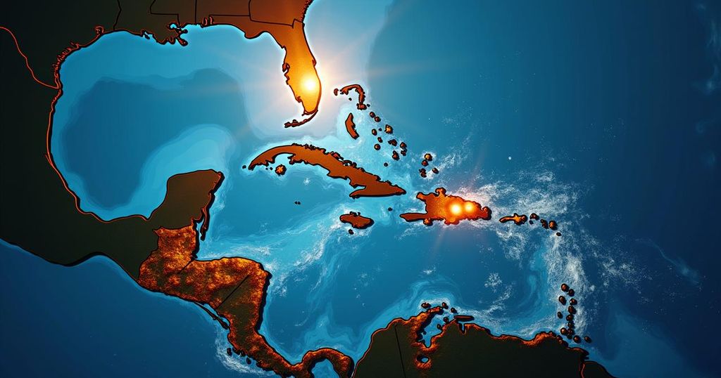
Tropical Depression 14 Develops in the Gulf: Florida Prepares for Heavy Rain
Tropical Depression Fourteen has formed in the Gulf of Mexico, expected to strengthen as it moves towards Florida, primarily impacting the Tampa Bay area with heavy rain starting Sunday and landfall projected for Wednesday. Hurricane and storm surge watches are likely to be issued as forecasts vary regarding the storm’s intensity.
On Saturday morning, Tropical Depression Fourteen was officially identified in the southwestern Gulf of Mexico, as reported by the National Hurricane Center. According to FOX 13 News Meteorologist Valerie Mills, the system has shown considerable organization over the past 24 hours. The NHC has indicated that hurricane and storm surge watches are likely to be issued for certain areas of Florida by Sunday. Mills emphasized, “So at this point we’re watching the west coast of Florida. We had some initial runs that were really favoring areas south of Tampa Bay, right around the southwest coast.” Currently, the Gulf of Mexico presents a conducive environment for strengthening, and as the depression moves eastward, it is anticipated to be named Milton. Model predictions exhibit variance, extending from Florida’s Big Bend to the southern reaches of the state, yet there is a prevailing consensus that the depression will track towards Tampa Bay. Hurricane Hunters are scheduled to begin reconnaissance flights into Tropical Depression Fourteen, which will provide further insights, potentially leading to updates regarding the storm’s trajectory and intensity. Floridians can expect significant rainfall commencing Sunday as the storm approaches from the west. The forecast suggests landfall may occur by Wednesday, followed by the storm crossing the state and exiting into the Atlantic.
Tropical depressions such as this one commonly form in the Gulf of Mexico, where warm waters provide the necessary heat and moisture to fuel development. The potential for intensification poses risks for coastal areas in terms of heavy rainfall and storm surge, which can lead to severe flooding. Meteorologists utilize weather models to predict storm tracks and intensity, which are crucial for informing local populations and governments about impending weather events. Understanding the dynamics of tropical systems is essential for preparedness and response efforts in affected regions.
In summary, Tropical Depression Fourteen has formed in the Gulf of Mexico and is projected to strengthen as it approaches Florida. With varying predictions regarding its intensity and track, Floridians, particularly those in the Tampa Bay area, should remain vigilant as significant rainfall and potential storm impacts are expected starting Sunday and peaking on Wednesday, when forecasts indicate landfall. Continuous updates from meteorologists and reconnaissance flights will provide further clarity on this developing situation.
Original Source: www.fox13news.com


Post Comment