Tropical Storm Milton Tracker: Path and Projections
Tropical Storm Milton is forecasted to impact Florida with hurricane-strength winds and heavy rain. It marks the 13th named storm of the season and follows the record impacts of Hurricane Helene. The formation of these storms is closely monitored for safety and preparedness.
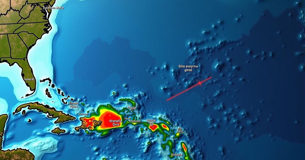
Tropical Storm Milton has emerged in the Gulf of Mexico, posing a serious threat to Florida as it is expected to bring hurricane-force winds and significant rainfall by the middle of the week, as indicated by the National Hurricane Center. This storm is the 13th named system of the current hurricane season. As with most meteorological events of this nature, the potential for severe impacts often extends far beyond the point of landfall. Should Milton maintain its current path and escalate into a hurricane, it would mark Florida’s second storm impact within a short time frame, following Hurricane Helene, which recently devastated parts of the state as a Category 4 hurricane, resulting in unprecedented storm surges and over 220 fatalities across its trajectory. Hurricane formation and intensification is contingent upon specific meteorological conditions being present for an extended period. According to experts at the National Hurricane Center, a tropical cyclone is designated a tropical storm upon achieving sustained wind speeds of 39 miles per hour for at least one minute, and it becomes a Category 1 hurricane upon reaching 74 miles per hour. These designations are crucial for understanding the potential risks and preparing for the impending impacts of strong winds, elevated waves, rainfall, and flooding. The consequences of tropical storm-force or hurricane-force winds are dire; homes can be destroyed, and debris can be propelled dangerously. Furthermore, these winds drive seawater inland, resulting in storm surges which are the leading cause of hurricane-related fatalities in the United States. When storms progress inland, flooding becomes a central concern, often exacerbated by rainfall exceeding six inches, which can overwhelm both drainage systems and the ground’s capacity to absorb excess water. Historically, the peak of hurricane season occurs around mid-September, with this year’s season potentially being among the most severe in recent history, as indicated by predictions from the National Oceanic and Atmospheric Administration. This season could witness 17 to 25 tropical storms, four to seven of which may escalate to major hurricanes.
The rise of Tropical Storm Milton coincides with the hurricane season, which traditionally peaks around mid-September. Meteorological patterns that lead to hurricane formation are closely monitored by agencies like the National Hurricane Center. As climate change influences weather systems, the current season is anticipated to be particularly active, with several significant storms already having made landfall. Understanding the dynamics of tropical storms and hurricanes aids in disaster preparedness and response efforts.
In summary, Tropical Storm Milton represents a significant weather event poised to impact Florida and possibly beyond. As the 13th named storm of the season, its trajectory and potential to escalate into a hurricane necessitate vigilance and preparedness, especially in the context of the recent devastation caused by Hurricane Helene. Given the historical patterns of hurricane activity and the current predictions for the season, it is crucial for residents in affected areas to heed warnings and stay informed.
Original Source: www.washingtonpost.com


Post Comment